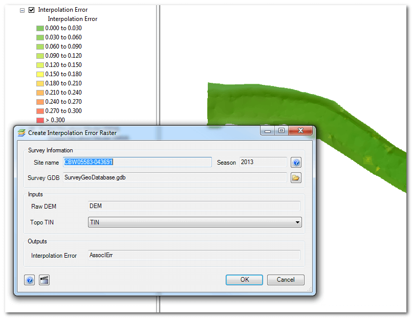
Interpolation Error Raster
The process of generating a digital elevation model (DEM) raster from a triangular irregular network (TIN) involves interpolation. Elevations from the continuous surfaces of the TIN are sampled for each raster cells into discrete values. The interpolation error surface attempts to capture the uncertainty introducted by this process.
The interpolation error surface compares the elevations of the surveyed points used to create the TIN with the final elevations of these same locations in the DEM. The process of interpolation will have introduced some small differences. A new, temporary, point feature class is created with the vertical differences stored as an attribute and then a temporary TIN is generated that interpolates a new raster of just the differences.
The final interpolation error raster has cells measured in meters, that capture the spatially variable difference in elevation between the original survey elevations and the final DEM.
Double click the the Interpolation Error Tool in the Workflow Manager and then click OK. You will be prompted to overwrite if the raster already exists in the survey geodatabase.