Point Density Raster
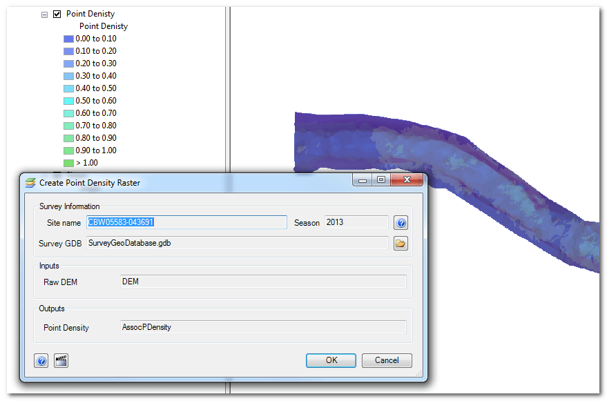
The Point Density tool generates a raster that describes the distance between the points used to generate the digital elevation model. The point density raster uses the surveyed Topo Points and Edge of Water Points from the survey. The output raster contains the number of points per square meter within each cell.
To run the tool click the Point Density item in the Workflow Manager and then click OK. You will be prompted to overwrite if a point density raster already exists in the survey geodatabase.
Technical Details
This tool simply runs the ArcGIS Point Density geoprocessing tool with the following paramters:
- In Points: combined Topo Points and Edge of Water Points
- Population Field: None
- Cell Size: 0.1m
- Neighborhood: 5m circle
- Area Unit Scale Factor: Square Meters